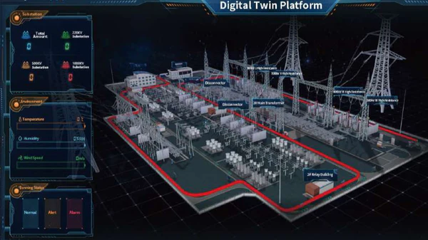
Before their first deployment, the robots scan and map the environment to create a Digital Twin model. This allows them to plan inspection routes and adapt to unique site challenges.
The scanning process uses built-in 3D Lidar sensors and 360° laser imaging to capture terrain details, obstacles, and environmental parameters.
Once the Digital Twin is created, routes are manually planned or adjusted within the system to ensure optimal coverage.